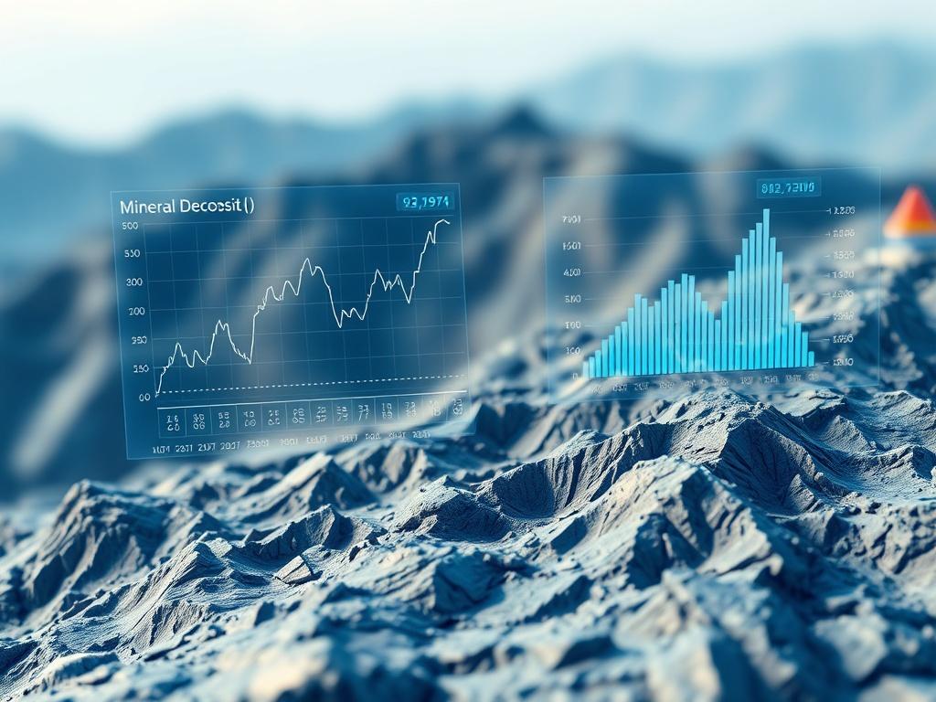
GX360 fuses publicly available geospatial intelligence with privately held sub-surface data to identify high-potential exploration targets using advanced machine learning and responsible AI. It connects directly to mineral, oil and gas modelling applications to deliver high-integrity insights on grade, quantity and depth. This assigns and deepens defensible economic value to geological systems.
For Boards and investors, GX360 accelerates certainty: faster assessment cycles, clearer prospectivity-to-business case-to-mine through-put alignment and greater confidence in capital allocation and expected mine output.
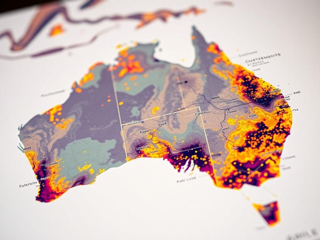
GP360 extends Geospatial Intelligence (GEOINT) to describe, assess and visually depict physical features, assets, commodities, biodiversity and infrastructure forecasts in their geographic context. This intelligence underpins mining, oil, gas and energy feasibility assessments, economic and environmental planning, cultural and social impact evaluation and risk mitigation strategies. It gives executives and boards the confidence to make faster, smarter feasibility and investment decisions grounded in trusted reusable source data.
Stay updated on our news and events! Sign up to receive our newsletter.