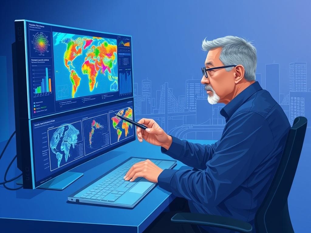
In today's data-driven world, organizations seek innovative ways to harness their information for better decision-making. Geospatial analytics offers an exciting opportunity to transform raw data into valuable insights by leveraging geographic context. As businesses strive to remain competitive, discovering how geospatial analytics can enhance their strategies becomes paramount. By visualizing and analyzing data with a spatial lens, companies can unlock patterns and trends that would otherwise go unnoticed.
This blog post delves into the transformative power of geospatial analytics. We will guide you through the process of unlocking its potential, showing how it can turn complex data sets into actionable intelligence. From understanding location-based risks to optimizing resource allocation, the applications are vast and impactful. Join us as we explore real-world examples that illustrate how organizations are making smarter decisions by integrating geospatial intelligence into their operations.
Unlocking the potential of geospatial analytics
Geospatial analytics stands at the forefront of data transformation, merging location intelligence with complex datasets to unlock unprecedented insights. By analyzing geographical patterns and relationships, organizations can visualize data in ways that enhance understanding and drive decision-making. This analytics technique allows businesses to see beyond traditional data interpretations, revealing trends that could remain hidden in conventional analysis. As a result, organizations can identify critical opportunities and potential challenges by leveraging the power of geography.
Moreover, the integration of geospatial analytics into business processes enables organizations to respond swiftly to changes in their environment. Companies can monitor market trends, optimize resource allocation, and improve customer engagement by overlaying various data sets on geographic maps. This visual representation fosters collaboration across teams and departments, as stakeholders can engage with the data in a more intuitive manner. Ultimately, unlocking the potential of geospatial analytics empowers organizations to become data-driven, making smarter decisions that lead to sustainable growth and innovation.
Transforming raw data into actionable insights
Geospatial analytics acts as a powerful lens through which organizations can interpret complex data. By integrating location-based information with traditional datasets, businesses can uncover patterns and relationships that remain hidden when data is analyzed in isolation. For instance, combining sales data with geographic demographics enables companies to pinpoint their most lucrative markets and tailor their strategies accordingly. This enriched analysis helps organizations optimize resource allocation, enhance customer engagement, and ultimately drive greater operational efficiency.
Moreover, geospatial analytics empowers decision-makers to visualize trends in real-time, making it easier to respond to evolving market conditions. With tools that represent data geographically, businesses can monitor performance across various locations, identifying underperforming areas and opportunities for growth. By leveraging advanced mapping software and geographic information systems (GIS), organizations can quickly transform raw data into compelling visual stories. These actionable insights facilitate informed decision-making and enable teams to strategize with a keen awareness of their spatial context.
Real-world applications: Making smarter decisions with geospatial intelligence
Geospatial analytics is transforming industries by enabling organizations to visualize and analyze their data in a context that enhances decision-making. For instance, in urban planning, city officials can assess land use patterns, demographics, and existing infrastructure to make informed decisions about zoning or public transportation routes. By integrating geospatial data with demographic insights, planners can allocate resources more effectively and identify areas that require development or investment. This targeted approach not only improves operational efficiency but also leads to more sustainable urban growth.
In the retail sector, businesses leverage geospatial analytics to optimize their store locations and marketing strategies. By analyzing geographic trends, customer behaviors, and competitive landscapes, companies can pinpoint ideal sites for new stores and tailor marketing campaigns to specific demographics. For example, a fast-food chain might use geospatial data to determine the best locations for outlets based on traffic patterns and nearby competitors, leading to maximized foot traffic and increased sales. Ultimately, the strategic application of geospatial intelligence empowers organizations to make data-driven decisions that drive growth and improve service delivery.
Stay updated on our news and events! Sign up to receive our newsletter.
Thank you for signing up!
Something went wrong. Please try again later.

